01935 429609
Somerset & Dorset
Family History Society
Family History Society
£2.40
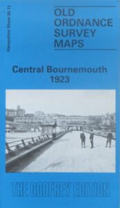
(Godfrey maps) A map of the seaward edge of central Bournemouth, including Boscombe, in 1923 at a scale of approximately 15 inches to the mile providing great detail, showing individual houses, railway tracks, factories and churches etc, and even minutiae such as pathways, signal posts, sheds, wells etc.
The rear of the map provides an introduction to the town, and an index map of southern Hampshire, showing its division into the larger scale maps