01935 429609
Somerset & Dorset
Family History Society
Family History Society
£2.40
Out of stock
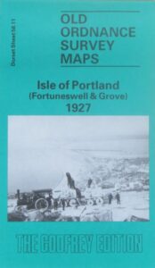
(Godfrey maps) One of four maps of Portland, this map shows the Foretuneswell and Grove area of Portland in 1927 at a scale of approximately 15 inches to the mile providing great detail, showing individual houses, railway tracks, factories and churches etc, and even minutiae such as pathways, signal posts, sheds, wells etc.
The rear of the sheet provides an earlier map of the area (1889), as well as an introduction to the area.