01935 429609
Somerset & Dorset
Family History Society
Family History Society
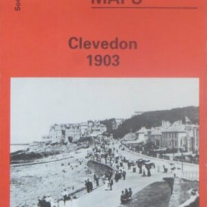
(Godfrey maps) A map of Clevedon in 1903 at a scale of approximately 15 inches to the mile providing great detail, showing individual houses, railway tracks, factories and churches etc, and even minutiae such as pathways, signal posts, sheds, wells…..
£2.40
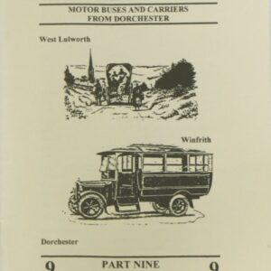
Various carriers ran services to Weymouth, some using main roads and others serving smaller villages such as Owermoigne, Moreton, Woodsford and West Stafford. Another service visited Warmwell Cross, Poxwell and Osmington. 40 pages. Soft covers.
£2.50
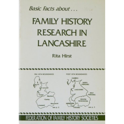
(Rita Hirst) An explanation of where records are likely to be deposited. Family History research within the county can be complicated as more than one repository may be involved in research into the records of a single parish. Consideration is…..
£1.00
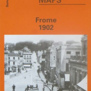
(Godfrey maps) A map of Frome in 1902 at a scale of approximately 15 inches to the mile providing great detail, showing individual houses, railway tracks, factories and churches etc, and even minutiae such as pathways, signal posts, sheds, wells…..
£2.40

Godfrey maps) A map of Glastonbury in 1902 at a scale of approximately 15 inches to the mile providing great detail, showing individual houses, railway tracks, factories and churches etc, and even minutiae such as pathways, signal posts, sheds, wells…..
£2.40
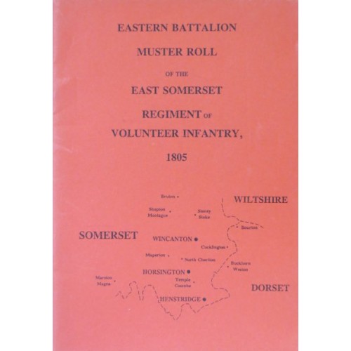
This battalion consisted of two companies from Henstridge, one from Horsington and two from Wincanton. Surname and place name indexes are included. 18 pages. Soft covers.
£1.50

(Godfrey maps) A map of Highbridge in 1929 at a scale of approximately 15 inches to the mile providing great detail, showing individual houses, railway tracks, factories and churches etc, and even minutiae such as pathways, signal posts, sheds, wells…..
£2.40
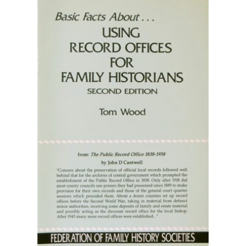
(Tom Wood) This updated edition of the booklet about using record offices includes sections on preparations beforehand, reserving a research place, dos and don?ts, rules and regulations, using your time efficiently, getting help, making notes, and alternatives to County Record…..
£1.00

(Godfrey maps) A map of the eastern part of Portishead in 1930 at a scale of approximately 15 inches to the mile providing great detail, showing individual houses, railway tracks, factories and churches etc, and even minutiae such as pathways,…..
£2.40

(Godfrey maps) A map of northern part of Portishead in 1930 at a scale of approximately 15 inches to the mile providing great detail, showing individual houses, railway tracks, factories and churches etc, and even minutiae such as pathways, signal…..
£2.40
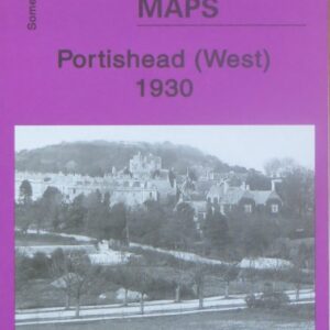
(Godfrey maps) A map of the western part of Portishead in 1930 at a scale of approximately 15 inches to the mile providing great detail, showing individual houses, railway tracks, factories and churches etc, and even minutiae such as pathways,…..
£2.40
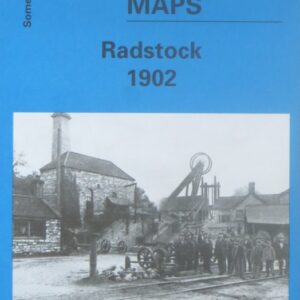
(Godfrey maps) A map of Radstock in 1902 at a scale of approximately 15 inches to the mile providing great detail, showing individual houses, railway tracks, factories and churches etc, and even minutiae such as pathways, signal posts, sheds, wells…..
£2.40
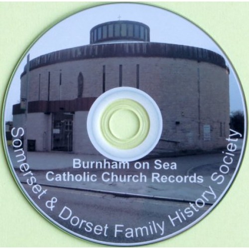
A CD of transcriptions of the registers of Catholic Church of Our Lady and the English Martyrs up to 1919. The confirmation records run from 1915, the baptisms from 1887, burials from 1902 and marriages from 1896. There are also…..
£5.00
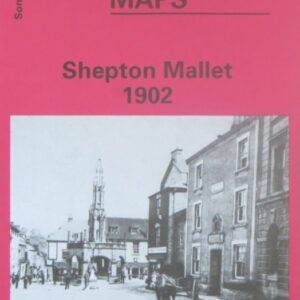
(Godfrey maps) A map of Shepton Mallet in 1902 at a scale of approximately 15 inches to the mile providing great detail, showing individual houses, railway tracks, factories and churches etc, and even minutiae such as pathways, signal posts, sheds,…..
£2.40
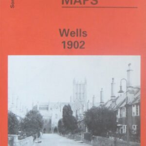
(Godfrey maps) A map of Wels in 1902 at a scale of approximately 15 inches to the mile providing great detail, showing individual houses, railway tracks, factories and churches etc, and even minutiae such as pathways, signal posts, sheds, wells…..
£2.40
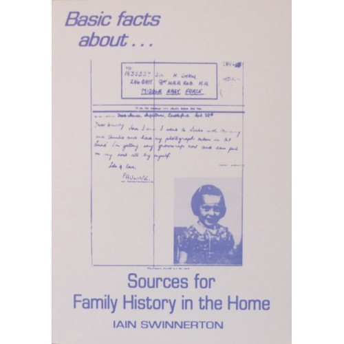
(Iain Swinnerton) Many families possess documents or artefacts which can help to put together names, dates and places for our ancestors. A surprising number of everyday objects around the house can give us vital information about our ancestors, and the…..
£1.00