01935 429609
Somerset & Dorset
Family History Society
Family History Society
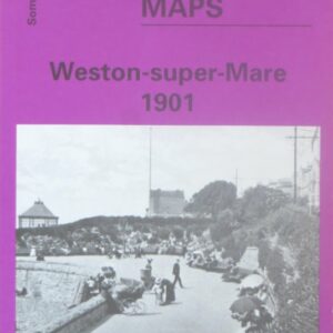
(Godfrey maps) A map of Weston-supper-Mare in 1901 at a scale of approximately 15 inches to the mile providing great detail, showing individual houses, railway tracks, factories and churches etc, and even minutiae such as pathways, signal posts, sheds, wells…..
£2.40
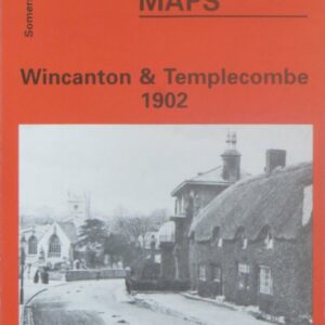
(Godfrey maps) A map of Wincanton and Templecombe in 1902 at a scale of approximately 15 inches to the mile providing great detail, showing individual houses, railway tracks, factories and churches etc, and even minutiae such as pathways, signal posts,…..
£2.40
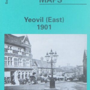
(Godfrey maps) A map of the eastern part of Yeovil in 1901 at a scale of approximately 15 inches to the mile providing great detail, showing individual houses, railway tracks, factories and churches etc, and even minutiae such as pathways,…..
£2.40
Contains the names of the owners, lessees and occupiers of the parcels of land required by the Bristol and Exeter Railway (later part of the Great Western Railway) for the construction of the Yeovil branch line, running from Durston, near…..
£5.00
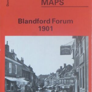
(Godfrey maps) A map of Blandford Forum in 1901 at a scale of approximately 15 inches to the mile providing great detail, showing individual houses, railway tracks, factories and churches etc, and even minutiae such as pathways, signal posts, sheds,…..
£2.40
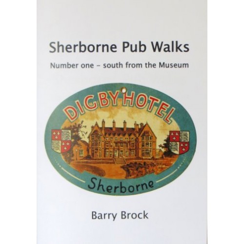
(Barry Brock) This series of three booklets covers all Sherborne’s old pubs and breweries that the author is aware of, a few of which still operate as pubs. Many are now private dwellings. A short history of each of the…..
£3.95
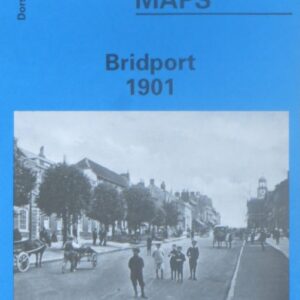
(Godfrey maps) A map of Bridport in 1901 at a scale of approximately 15 inches to the mile providing great detail, showing individual houses, railway tracks, factories and churches etc, and even minutiae such as pathways, signal posts, sheds, wells…..
£2.40
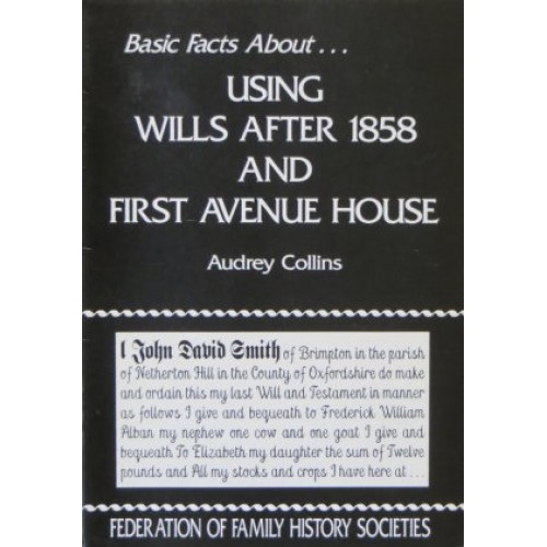
(Audrey Collins) This useful booklet explains the uses of wills and administration to family historians, and gives information on District Probate Registries, indexes held elsewhere, and ordering copies by post. There is also a section on the new search room…..
£1.00
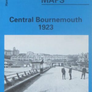
(Godfrey maps) A map of the seaward edge of central Bournemouth, including Boscombe, in 1923 at a scale of approximately 15 inches to the mile providing great detail, showing individual houses, railway tracks, factories and churches etc, and even minutiae…..
£2.40
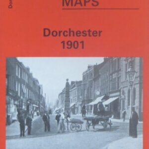
(Godfrey maps) A map of Dorchester in 1901 at a scale of approximately 15 inches to the mile providing great detail, showing individual houses, railway tracks, factories and churches etc, and even minutiae such as pathways, signal posts, sheds, wells…..
£2.40
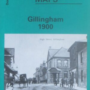
(Godfrey maps) A map of Gillingham in 1900 at a scale of approximately 15 inches to the mile providing great detail, showing individual houses, railway tracks, factories and churches etc, and even minutiae such as pathways, signal posts, sheds, wells…..
£2.40
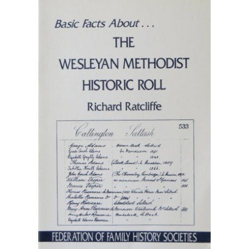
(Richard Ratcliffe) The Wesleyan Methodist Historic Roll is a unique set of fifty large leather-bound volumes, which are located at Methodist Central Hall in Westminster. This contains the names of over one million people who donated a guinea to the…..
£1.00
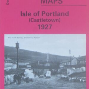
(Godfrey maps) One of four maps of Portland, this map shows the Castletown area of Portland in 1927 at a scale of approximately 15 inches to the mile providing great detail, showing individual houses, railway tracks, factories and churches etc,…..
£2.40
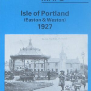
(Godfrey maps) One of four maps of Portland, this map shows the Easton and Weston area of Portland in 1927 at a scale of approximately 15 inches to the mile providing great detail, showing individual houses, railway tracks, factories and…..
£2.40
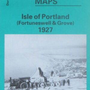
(Godfrey maps) One of four maps of Portland, this map shows the Foretuneswell and Grove area of Portland in 1927 at a scale of approximately 15 inches to the mile providing great detail, showing individual houses, railway tracks, factories and…..
£2.40
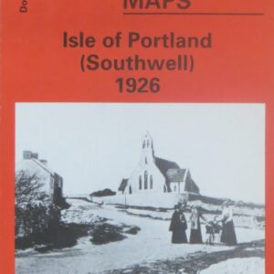
(Godfrey maps) One of four maps of Portland, this map shows the Southwell area of Portland in 1927 at a scale of approximately 15 inches to the mile providing great detail, showing individual houses, railway tracks, factories and churches etc,…..
£2.40