01935 429609
Somerset & Dorset
Family History Society
Family History Society
Each of this series of maps is taken from the OS 1/2500 plans and reprinted at about 14 inches to the mile. The maps cover towns in great detail, showing individual houses, railway tracks, factories, churches, mills, canals, tramways and even minutiae such as dockside cranes, fountains, signal posts, pathways, sheds, wells, etc. Each map includes historical notes on the area concerned.
Prices are for our existing stock of maps. Should we need to purchase new stock the prices will be higher than currently shown.
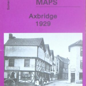
(Godfrey maps) A map of Axbridge in 1929 at a scale of approximately 15 inches to the mile providing great detail, showing individual houses, railway tracks, factories and churches etc, and even minutiae such as pathways, signal posts, sheds, wells…..
£2.40

(Godfrey maps) A map of Bath in 1902 at a scale of approximately 15 inches to the mile providing great detail, showing individual houses, railway tracks, factories and churches etc, and even minutiae such as pathways, signal posts, sheds, wells…..
£2.40

(Godfrey maps) A map of Bridgwater in 1903 at a scale of approximately 15 inches to the mile providing great detail, showing individual houses, railway tracks, factories and churches etc, and even minutiae such as pathways, signal posts, sheds, wells…..
£2.40

(Godfrey maps) A map of Burnham-on-Sea in 1929 at a scale of approximately 15 inches to the mile providing great detail, showing individual houses, railway tracks, factories and churches etc, and even minutiae such as pathways, signal posts, sheds, wells…..
£2.40
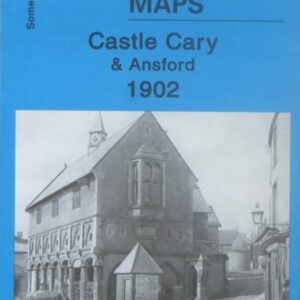
(Godfrey maps) A map of Castle Cary and Ansford in 1902 at a scale of approximately 14 inches to the mile providing great detail, showing individual houses, railway tracks, factories and churches etc, and even minutiae such as pathways, signal…..
£2.40
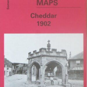
(Godfrey maps) A map of Cheddar in 1902 at a scale of approximately 15 inches to the mile providing great detail, showing individual houses, railway tracks, factories and churches etc, and even minutiae such as pathways, signal posts, sheds, wells…..
£2.40
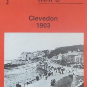
(Godfrey maps) A map of Clevedon in 1903 at a scale of approximately 15 inches to the mile providing great detail, showing individual houses, railway tracks, factories and churches etc, and even minutiae such as pathways, signal posts, sheds, wells…..
£2.40
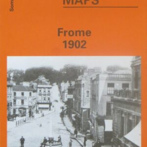
(Godfrey maps) A map of Frome in 1902 at a scale of approximately 15 inches to the mile providing great detail, showing individual houses, railway tracks, factories and churches etc, and even minutiae such as pathways, signal posts, sheds, wells…..
£2.40

Godfrey maps) A map of Glastonbury in 1902 at a scale of approximately 15 inches to the mile providing great detail, showing individual houses, railway tracks, factories and churches etc, and even minutiae such as pathways, signal posts, sheds, wells…..
£2.40

(Godfrey maps) A map of Highbridge in 1929 at a scale of approximately 15 inches to the mile providing great detail, showing individual houses, railway tracks, factories and churches etc, and even minutiae such as pathways, signal posts, sheds, wells…..
£2.40

(Godfrey maps) A map of the eastern part of Portishead in 1930 at a scale of approximately 15 inches to the mile providing great detail, showing individual houses, railway tracks, factories and churches etc, and even minutiae such as pathways,…..
£2.40

(Godfrey maps) A map of northern part of Portishead in 1930 at a scale of approximately 15 inches to the mile providing great detail, showing individual houses, railway tracks, factories and churches etc, and even minutiae such as pathways, signal…..
£2.40
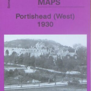
(Godfrey maps) A map of the western part of Portishead in 1930 at a scale of approximately 15 inches to the mile providing great detail, showing individual houses, railway tracks, factories and churches etc, and even minutiae such as pathways,…..
£2.40
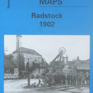
(Godfrey maps) A map of Radstock in 1902 at a scale of approximately 15 inches to the mile providing great detail, showing individual houses, railway tracks, factories and churches etc, and even minutiae such as pathways, signal posts, sheds, wells…..
£2.40
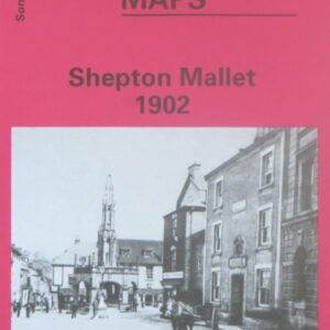
(Godfrey maps) A map of Shepton Mallet in 1902 at a scale of approximately 15 inches to the mile providing great detail, showing individual houses, railway tracks, factories and churches etc, and even minutiae such as pathways, signal posts, sheds,…..
£2.40
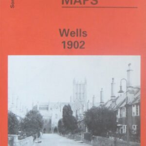
(Godfrey maps) A map of Wels in 1902 at a scale of approximately 15 inches to the mile providing great detail, showing individual houses, railway tracks, factories and churches etc, and even minutiae such as pathways, signal posts, sheds, wells…..
£2.40