01935 429609
Somerset & Dorset
Family History Society
Family History Society
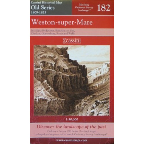
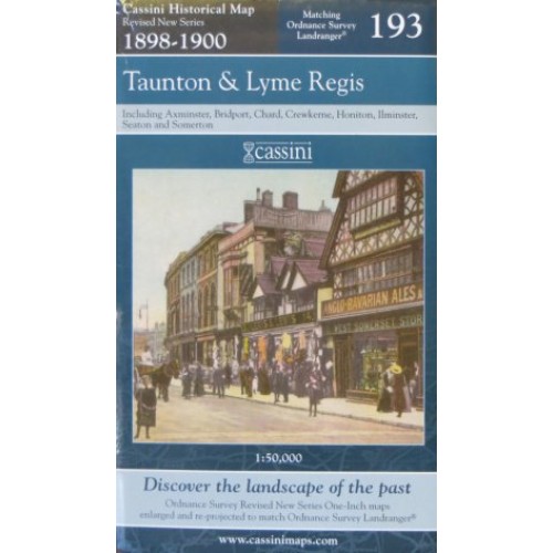
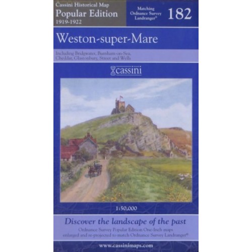
The map covers the same area, is reproduced to the same scale (1:50,000), carries the same map number and uses the same British National Grid Reference, as the corresponding Ordnance Survey Landranger© map.
£7.99
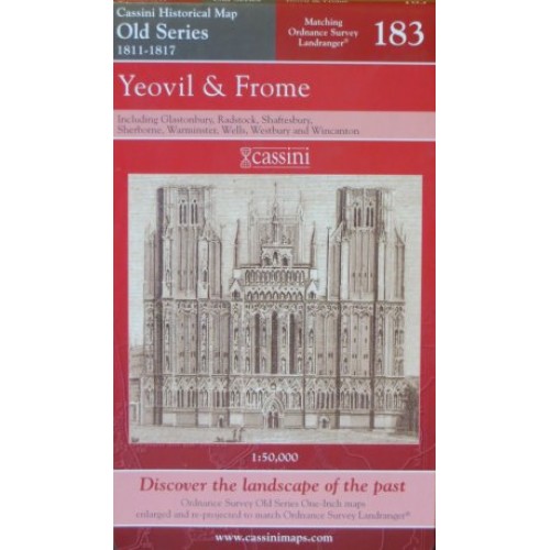
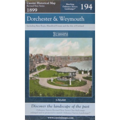
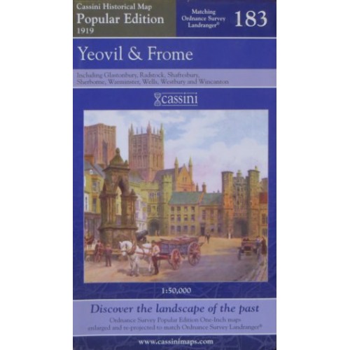
The map covers the same area, is reproduced to the same scale (1:50,000), carries the same map number and uses the same British National Grid Reference, as the corresponding Ordnance Survey Landranger© map.
£7.99
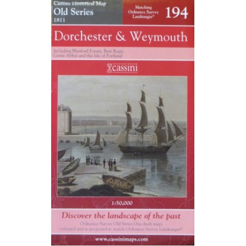
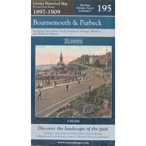
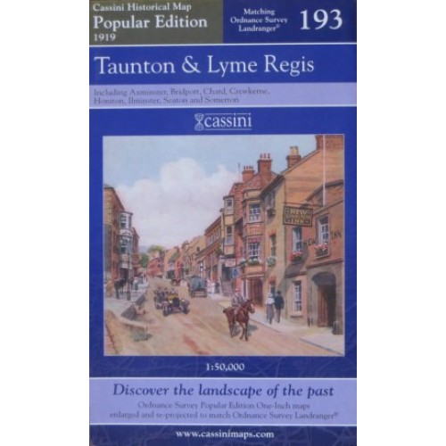
The map covers the same area, is reproduced to the same scale (1:50,000), carries the same map number and uses the same British National Grid Reference, as the corresponding Ordnance Survey Landranger© map.
£7.99
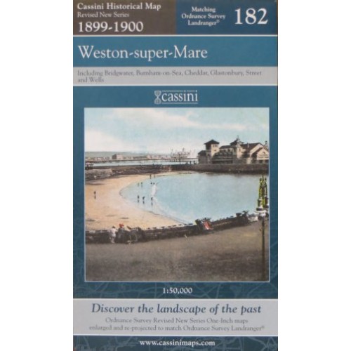
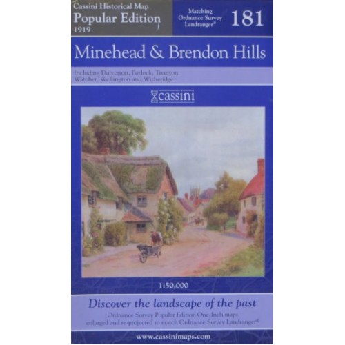
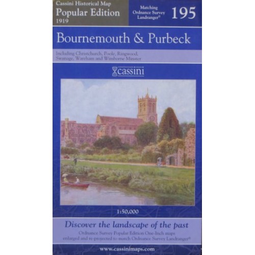
The map covers the same area, is reproduced to the same scale (1:50,000), carries the same map number and uses the same British National Grid Reference, as the corresponding Ordnance Survey Landranger© map.
£7.99
The map covers the same area, is reproduced to the same scale (1:50,000), carries the same map number and uses the same British National Grid Reference, as the corresponding Ordnance Survey Landranger© map.
£7.99
The map covers the same area, is reproduced to the same scale (1:50,000), carries the same map number and uses the same British National Grid Reference, as the corresponding Ordnance Survey Landranger© map.
£7.99
The map covers the same area, is reproduced to the same scale (1:50,000), carries the same map number and uses the same British National Grid Reference, as the corresponding Ordnance Survey Landranger© map.
£7.99
The map covers the same area, is reproduced to the same scale (1:50,000), carries the same map number and uses the same British National Grid Reference, as the corresponding Ordnance Survey Landranger© map.
£7.99
The map covers the same area, is reproduced to the same scale (1:50,000), carries the same map number and uses the same British National Grid Reference, as the corresponding Ordnance Survey Landranger© map.
£7.99
The map covers the same area, is reproduced to the same scale (1:50,000), carries the same map number and uses the same British National Grid Reference, as the corresponding Ordnance Survey Landranger© map.
£7.99
The map covers the same area, is reproduced to the same scale (1:50,000), carries the same map number and uses the same British National Grid Reference, as the corresponding Ordnance Survey Landranger© map.
£7.99
The map covers the same area, is reproduced to the same scale (1:50,000), carries the same map number and uses the same British National Grid Reference, as the corresponding Ordnance Survey Landranger© map.
£7.99