01935 429609
Somerset & Dorset
Family History Society
Family History Society
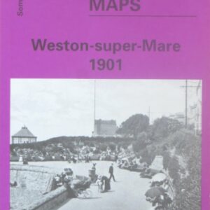
(Godfrey maps) A map of Weston-supper-Mare in 1901 at a scale of approximately 15 inches to the mile providing great detail, showing individual houses, railway tracks, factories and churches etc, and even minutiae such as pathways, signal posts, sheds, wells…..
£2.40
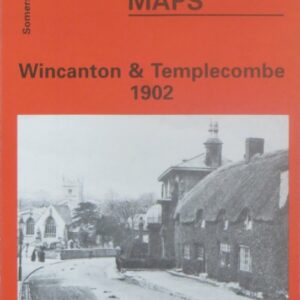
(Godfrey maps) A map of Wincanton and Templecombe in 1902 at a scale of approximately 15 inches to the mile providing great detail, showing individual houses, railway tracks, factories and churches etc, and even minutiae such as pathways, signal posts,…..
£2.40
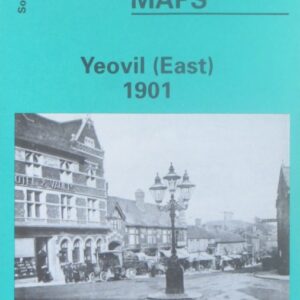
(Godfrey maps) A map of the eastern part of Yeovil in 1901 at a scale of approximately 15 inches to the mile providing great detail, showing individual houses, railway tracks, factories and churches etc, and even minutiae such as pathways,…..
£2.40
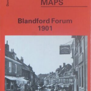
(Godfrey maps) A map of Blandford Forum in 1901 at a scale of approximately 15 inches to the mile providing great detail, showing individual houses, railway tracks, factories and churches etc, and even minutiae such as pathways, signal posts, sheds,…..
£2.40
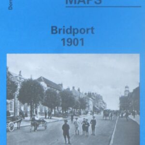
(Godfrey maps) A map of Bridport in 1901 at a scale of approximately 15 inches to the mile providing great detail, showing individual houses, railway tracks, factories and churches etc, and even minutiae such as pathways, signal posts, sheds, wells…..
£2.40
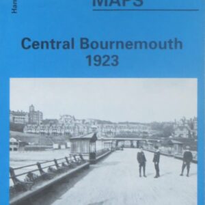
(Godfrey maps) A map of the seaward edge of central Bournemouth, including Boscombe, in 1923 at a scale of approximately 15 inches to the mile providing great detail, showing individual houses, railway tracks, factories and churches etc, and even minutiae…..
£2.40
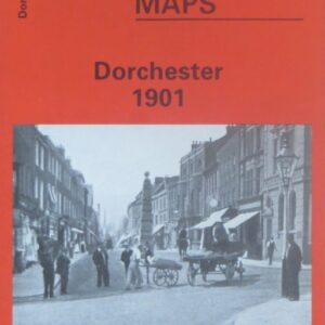
(Godfrey maps) A map of Dorchester in 1901 at a scale of approximately 15 inches to the mile providing great detail, showing individual houses, railway tracks, factories and churches etc, and even minutiae such as pathways, signal posts, sheds, wells…..
£2.40
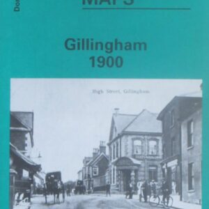
(Godfrey maps) A map of Gillingham in 1900 at a scale of approximately 15 inches to the mile providing great detail, showing individual houses, railway tracks, factories and churches etc, and even minutiae such as pathways, signal posts, sheds, wells…..
£2.40
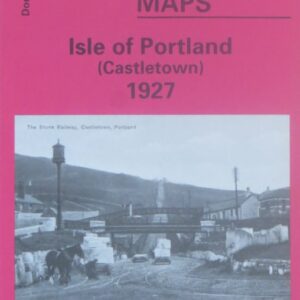
(Godfrey maps) One of four maps of Portland, this map shows the Castletown area of Portland in 1927 at a scale of approximately 15 inches to the mile providing great detail, showing individual houses, railway tracks, factories and churches etc,…..
£2.40
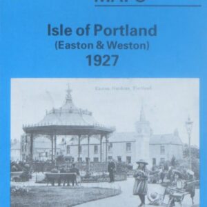
(Godfrey maps) One of four maps of Portland, this map shows the Easton and Weston area of Portland in 1927 at a scale of approximately 15 inches to the mile providing great detail, showing individual houses, railway tracks, factories and…..
£2.40
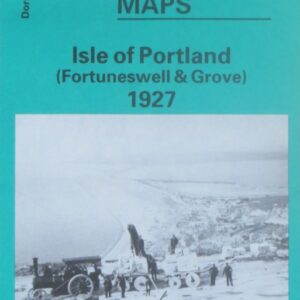
(Godfrey maps) One of four maps of Portland, this map shows the Foretuneswell and Grove area of Portland in 1927 at a scale of approximately 15 inches to the mile providing great detail, showing individual houses, railway tracks, factories and…..
£2.40
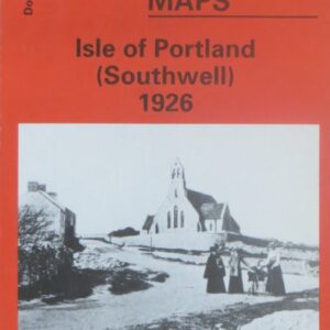
(Godfrey maps) One of four maps of Portland, this map shows the Southwell area of Portland in 1927 at a scale of approximately 15 inches to the mile providing great detail, showing individual houses, railway tracks, factories and churches etc,…..
£2.40
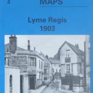
(Godfrey maps) A map of Lyme Regis in 1903 at a scale of approximately 15 inches to the mile providing great detail, showing individual houses, railway tracks, factories and churches etc, and even minutiae such as pathways, signal posts, sheds,…..
£2.40
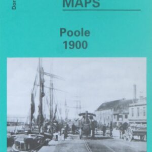
(Godfrey maps) A map of Poole in 1900 at a scale of approximately 15 inches to the mile providing great detail, showing individual houses, railway tracks, factories and churches etc, and even minutiae such as pathways, signal posts, sheds, wells…..
£2.40
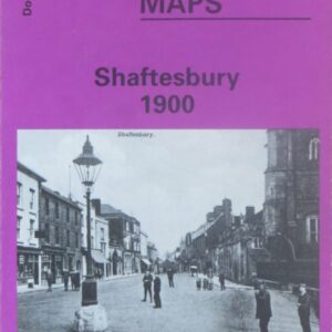
(Godfrey maps) A map of Shaftesbury in 1900 at a scale of approximately 15 inches to the mile providing great detail, showing individual houses, railway tracks, factories and churches etc, and even minutiae such as pathways, signal posts, sheds, wells…..
£2.40
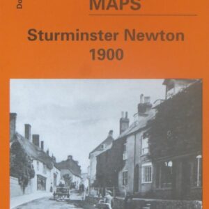
(Godfrey maps) A map of Sturminster Newton in 1900 at a scale of approximately 15 inches to the mile providing great detail, showing individual houses, railway tracks, factories and churches etc, and even minutiae such as pathways, signal posts, sheds,…..
£2.40