01935 429609
Somerset & Dorset
Family History Society
Family History Society
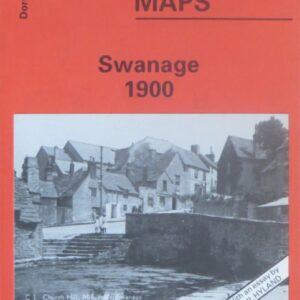
(Godfrey maps) A map of Swanage in 1900 at a scale of approximately 15 inches to the mile providing great detail, showing individual houses, railway tracks, factories and churches etc, and even minutiae such as pathways, signal posts, sheds, wells…..
£2.40
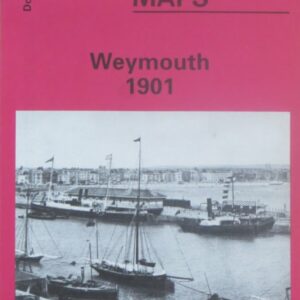
(Godfrey maps) A map of Weymouth and Melcombe Regis in 1901 at a scale of approximately 15 inches to the mile providing great detail, showing individual houses, railway tracks, factories and churches etc, and even minutiae such as pathways, signal…..
£2.40
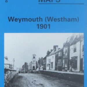
(Godfrey maps) A map of the Westham area of Weymouth in 1901 at a scale of approximately 15 inches to the mile providing great detail, showing individual houses, railway tracks, factories and churches etc, and even minutiae such as pathways,…..
£2.40
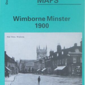
(Godfrey maps) A map of Wimborne Minster in 1900 at a scale of approximately 15 inches to the mile providing great detail, showing individual houses, railway tracks, factories and churches etc, and even minutiae such as pathways, signal posts, sheds,…..
£2.40
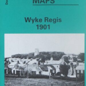
(Godfrey maps) A map of Wyke Regis in 1901 at a scale of approximately 15 inches to the mile providing great detail, showing individual houses, railway tracks, factories and churches etc, and even minutiae such as pathways, signal posts, sheds,…..
£2.40
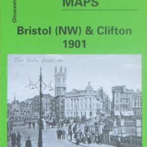
(Godfrey maps) A map of North West Bristol and Clifton in 1901 at a scale of approximately 15 inches to the mile providing great detail, showing individual houses, railway tracks, factories and churches etc, and even minutiae such as pathways,…..
£2.40
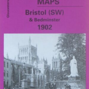
(Godfrey maps) A map of South West Bristol and Bedminster in 1902 at a scale of approximately 15 inches to the mile providing great detail, showing individual houses, railway tracks, factories and churches etc, and even minutiae such as pathways,…..
£2.40
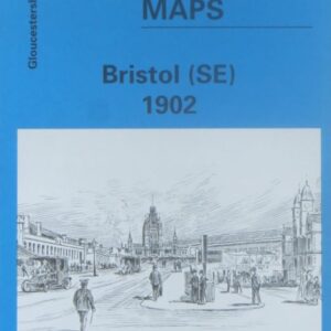
(Godfrey maps) A map of South East Bristol in 1902 at a scale of approximately 15 inches to the mile providing great detail, showing individual houses, railway tracks, factories and churches etc, and even minutiae such as pathways, signal posts,…..
£2.40
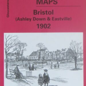
A map of the Ashley Down and Eastville areas of Bristol in 1902 at a scale of approximately 15 inches to the mile providing great detail, showing individual houses, railway tracks, factories and churches etc, and even minutiae such as…..
£2.40
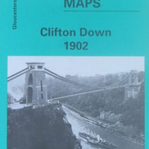
(Godfrey maps) A map of the Clifton Down area of Bristol and the area to the west of the River Avon in 1902 at a scale of approximately 15 inches to the mile providing great detail, showing individual houses, railway…..
£2.40
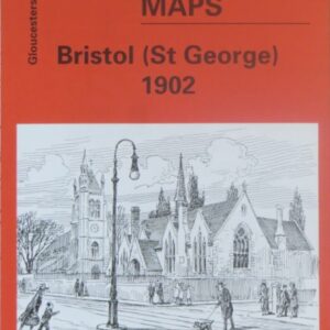
(Godfrey maps) A map of the St George area of Bristol in 1902 at a scale of approximately 15 inches to the mile providing great detail, showing individual houses, a railway tracks, factories and churches etc, and even minutiae such…..
£2.40