01935 429609
Somerset & Dorset
Family History Society
Family History Society
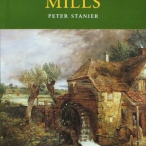
(Peter Stanier) Dorset’s rivers and streams have powered over 400 mills. Today, only a handful of mill wheels still turn, and only one commercial watermill remains open. The book deals at least a mention of nearly sixty of these mills,…..
£4.95
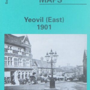
(Godfrey maps) A map of the eastern part of Yeovil in 1901 at a scale of approximately 15 inches to the mile providing great detail, showing individual houses, railway tracks, factories and churches etc, and even minutiae such as pathways,…..
£2.40
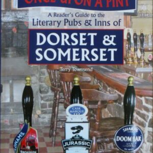
(Terry Townsend) This book is a literary pub crawl around two of England’s most beautiful and least spoilt shires, Dorset and Somerset, following in the steps of famous and lesser known writers. The author has included town pubs, country pubs,…..
£9.99
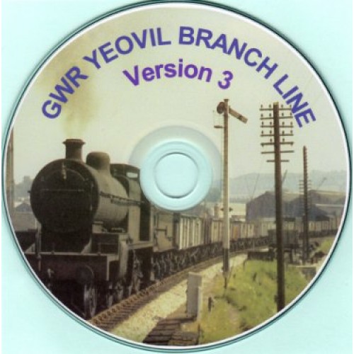
Contains the names of the owners, lessees and occupiers of the parcels of land required by the Bristol and Exeter Railway (later part of the Great Western Railway) for the construction of the Yeovil branch line, running from Durston, near…..
£5.00
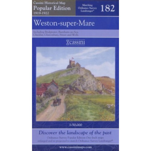
The map covers the same area, is reproduced to the same scale (1:50,000), carries the same map number and uses the same British National Grid Reference, as the corresponding Ordnance Survey Landranger© map.
£7.99
Contains the names of more than 6200 individuals, taken from the Society’s collection of pedigrees and family trees, who have been combined into one ‘superfamily’ using birth and marriage records. Details are given of names, dates, locations and relationships, produced…..
£9.95
A transcription of: Christenings 1578-1948, Marriages 1602-1948, Burials 1578-1958.
£9.50
(Michael McGarvie) A history of Frome covering more than a century. Includes many photographs and an excellent index. For this new (fifth) edition the photographs in the book have been enhanced to provide better reproduction. The biography and index have…..
£15.00
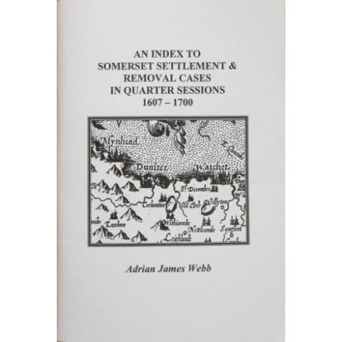
An alphabetical listing by surname of those involved in settlement and removal cases recorded in the Somerset Quarter Sessions order books at the Somerset Record Office. A reference to the Record Office holding is provided for each entry. Indexes of…..
£4.50
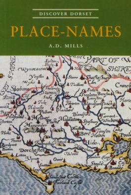
(A D Mills) Dorset is blessed with a rich variety of place-names, many of them unique to the county or made up of rare Celtic words that are now obsolete. Some are Anglo-Saxon, some Norman French or Latin. Others provide…..
£4.95
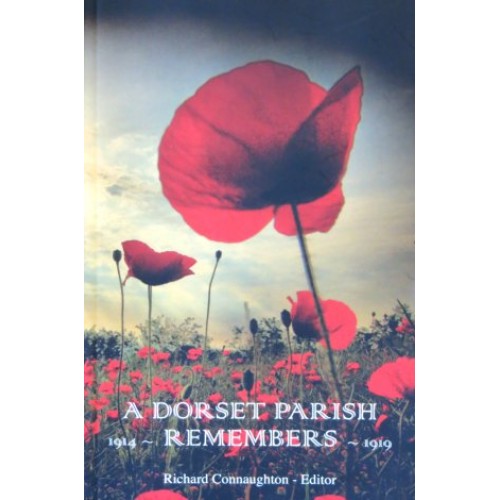
(ed Richard Connaughton) The story of the eleven men from Powerstock and its close neighbours, Nettlecombe, North Porton and West Milton, who lost their lives in the First World War. As much information as possible has been gathered about each…..
£7.99
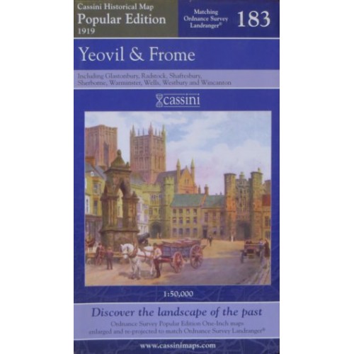
The map covers the same area, is reproduced to the same scale (1:50,000), carries the same map number and uses the same British National Grid Reference, as the corresponding Ordnance Survey Landranger© map.
£7.99
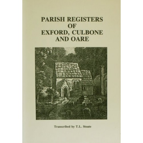
A transcription of: Exford: Christenings 1594-1837, Marriages 1594-1837, Burials 1594-1837 Culbone: Christenings 1605-1830, Marriages 1605-1830, Burials 1605-1830 Oare: Christenings 1599-1830, Marriages 1599-1830, Burials 1599-1830
£7.20
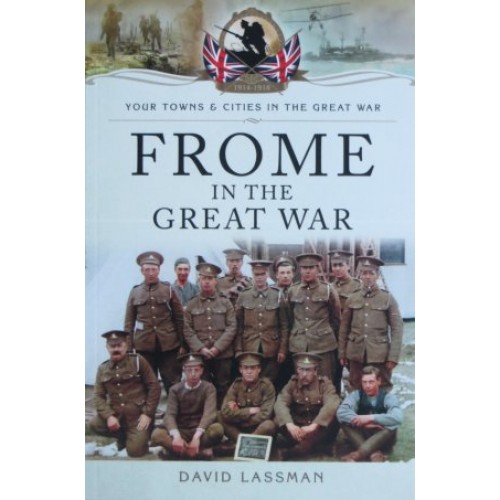
(David Lassman) Men from Frome and the surrounding area experienced action in all the theatres of war that the global conflict encompassed, and they took part in the numerous battles and campaigns, on land and sea, that have become synonymous…..
£12.99
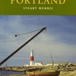
(Stuart Morris) The Island and Royal Manor of Portland is unique in Great Britain, and even today retains an atmosphere and identity that are all its own. The author provides a portrait of the island that both brings its past…..
£4.95
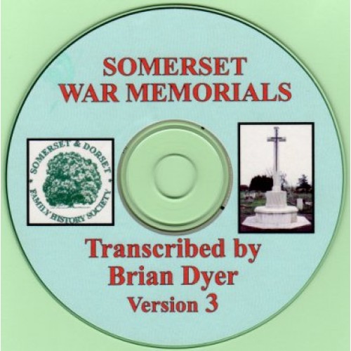
Information on thousands of servicemen and women with a Somerset connection, and the transcription of their memorials.
£12.50