01935 429609
Somerset & Dorset
Family History Society
Family History Society
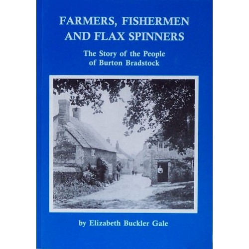
(Elizabeth Buckler Gale) Enthralling account of the lives of the people of the Burton Bradstock locality from long ago to recent times. 172 pages. Soft covers.
£7.50
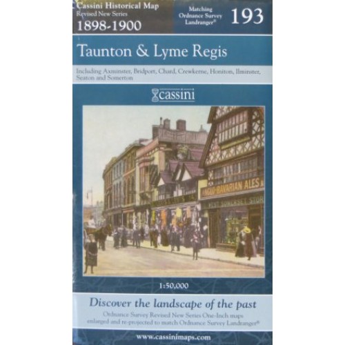
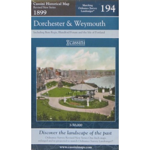
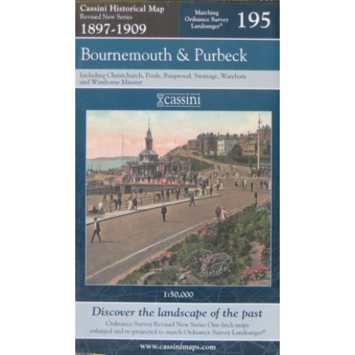
The map covers the same area, is reproduced to the same scale (1:50,000), carries the same map number and uses the same British National Grid Reference, as the corresponding Ordnance Survey Landranger© map.
£7.99
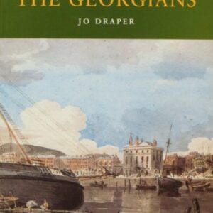
(Jo Draper) Two centuries of agricultural change and the growth of the towns have transformed Dorset’s Georgian landscape. Using contemporary illustrations and concentrating on those who lived in the eighteenth century Dorset, the author has superbly captured the character of…..
£4.95
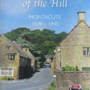
(Clarence Bradley). The author, who moved to Montacute from Stoke-sub-Hamdon three years after his birth, joined the Air Training Corps in his teens. This nurtured in him an interest in military aviation and local people’s involvement in the Second World…..
£12.99

(Godfrey maps) A map of northern part of Portishead in 1930 at a scale of approximately 15 inches to the mile providing great detail, showing individual houses, railway tracks, factories and churches etc, and even minutiae such as pathways, signal…..
£2.40
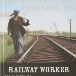
(Frank Hardy) A complete guide to using railway records, covering all aspects of this hugely significant industry. The book includes a brief history of our railways from the start to 1948, an explanation of the job titles used by the…..
£8.99
The map covers the same area, is reproduced to the same scale (1:50,000), carries the same map number and uses the same British National Grid Reference, as the corresponding Ordnance Survey Landranger© map.
£7.99
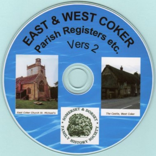
Parish Registers: East Coker: Baptisms 1661-1888, Marriages 1560-1885, Burials 1661-1885. Note that there are gaps in all the records, particularly in marriages, from 1632 to 1713. West Coker: Baptisms 1697-1897, Marriages 1607-1837, Burials 1613-1845. Note that there are gaps in all…..
£10.00
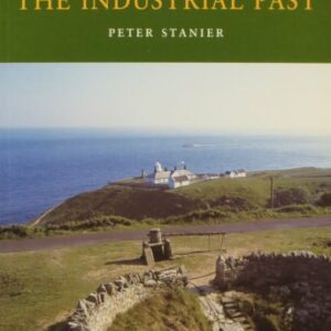
(Peter Stanier) One of the delights of a rural county like Dorset is its mix of traditional small-scale industries, many based on natural resources. The book details location of these industries, broken down by categories: raw materials, manufacturing, power and…..
£4.95
(Bernard Paull) The author has spent many years collecting post cards and photographs of Loders. This collection, much of which has been included in the book, has enabled a look back at life and events in the village between the…..
£10.00
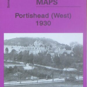
(Godfrey maps) A map of the western part of Portishead in 1930 at a scale of approximately 15 inches to the mile providing great detail, showing individual houses, railway tracks, factories and churches etc, and even minutiae such as pathways,…..
£2.40

(Ian Waller) A comprehensive guide to Navy records dating back to before 1700, the book also contains a brief history of the service, guides to uniforms and insignia, divisions and branches of the Navy, pensions, dockyards, casualties, courts martial and…..
£12.99
(Jack W Sweet) A collection of fifty tales of murder, mayhem and mishap, ranging from Mary Adlam killing her drunken husband in Regency Bath, a test flight crash at Yeovil and mine disasters in the Somerset coalfields, to the missing…..
£12.99
A list of those required to pay a monthly tax for three months for the maintenance of ‘Forces raised by Authority of Parliament’, with the amount payable. The lists are arranged by tything. A surname index is included. 40 pages. …..
£3.45
The map covers the same area, is reproduced to the same scale (1:50,000), carries the same map number and uses the same British National Grid Reference, as the corresponding Ordnance Survey Landranger© map.
£7.99
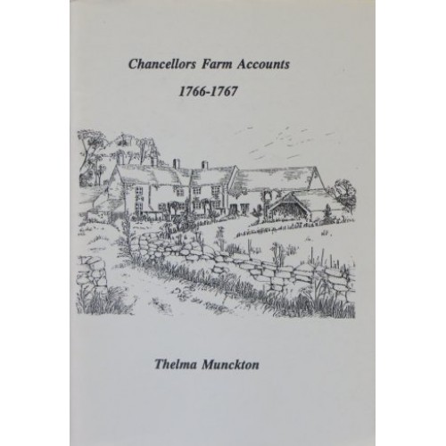
A transcription of the accounts kept by Mr Charles Tudway for Chancellors Farm in the parish of West Harptree for the year April 1766 to April 1767. They are very detailed accounts, covering livestock, the production and marketing of cheese,…..
£3.45